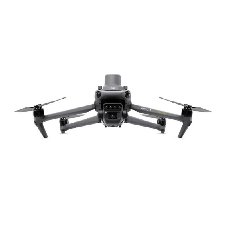
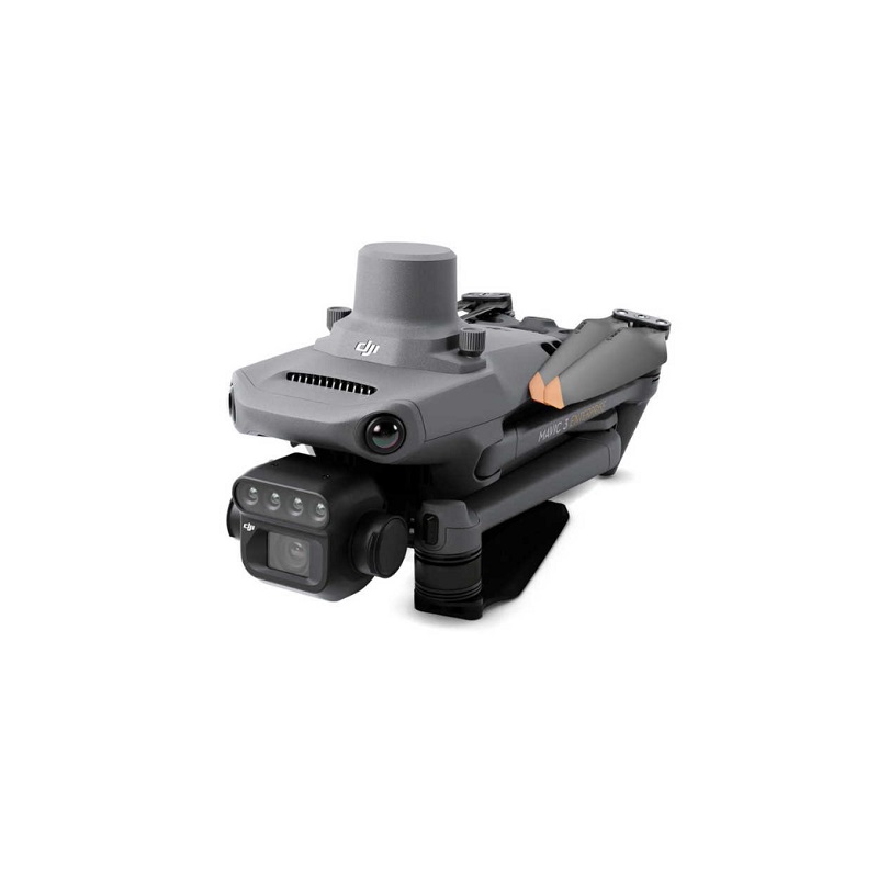
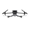
- Compact and portable
- Foldable for easy storage
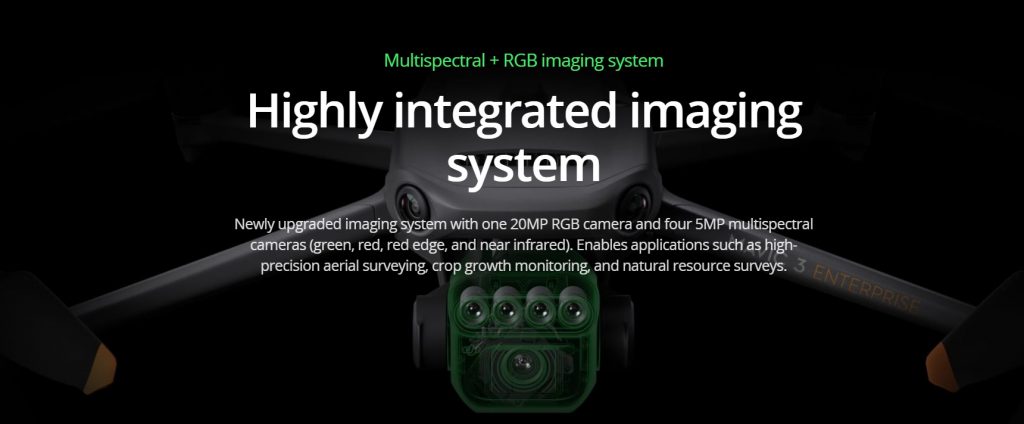
- Multispectral Camera – 4 × 5MP – Green/Red/RE/NIR
- RGB camera – 20 MP – 4/3 CMOS, mechanical shutter
- Omnidirectional Obstacle Avoidance
- 15km Transmission Distance
DJI Mavic 3 Multispectral
Effective aerial surveying needs to see the invisible. That’s why the DJI Mavic 3 Multispectral has two forms of sight. It combines an RGB camera with a multispectral camera to scan and analyze crop growth with total clarity. Agricultural production management requires precision and data, and Mavic 3M delivers both.
Key features:
Accurate images that capture every pixel
Mavic 3M with RTK module for centimetre-level positioning. Flight control, the camera, and the RTK module sync in microseconds to accurately capture the location of each camera’s imaging center. This enables Mavic 3M to do high-precision aerial surveying without using ground control points.
Ultra-long battery life
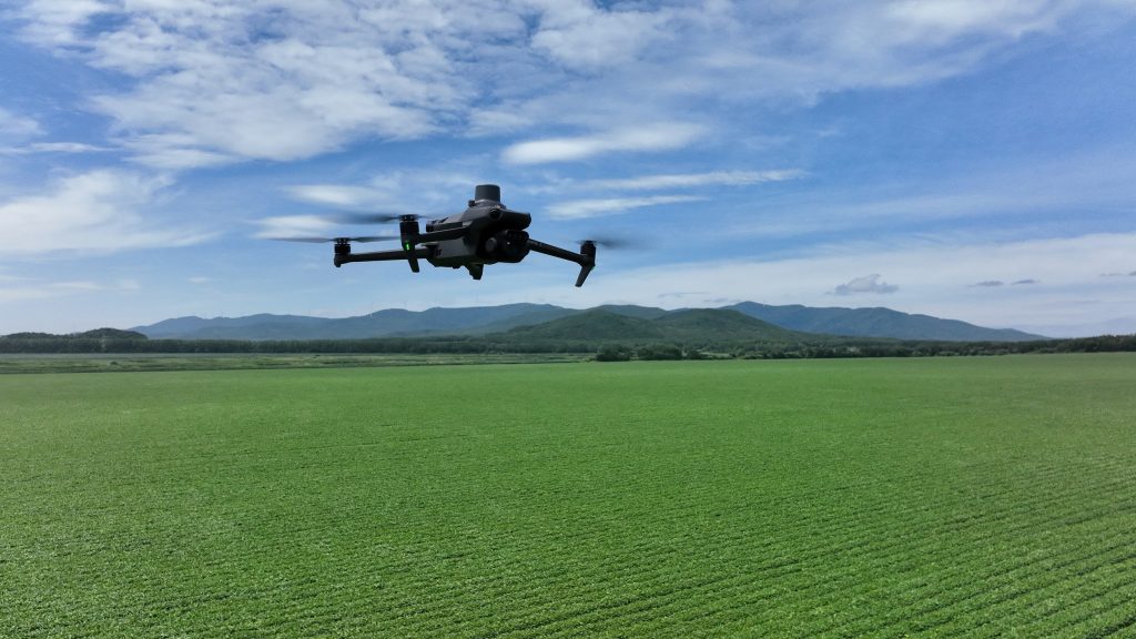
Intelligent field scouting
The Mavic 3M can carry out automatic field scouting. The field scout images can be uploaded to the DJI SmartFarm Platform [6] in real time through a 4G network. It can find abnormalities, such as emergence deficiencies, weed pressure, and crop lodging in a timely manner. It can also conduct intelligent analyses, such as cotton seedling identification and rice production testing, using AI identification for real-time sharing of crop growth information, guidance of agronomic activities, and easy management of 70 hectares of farmland by one person.

